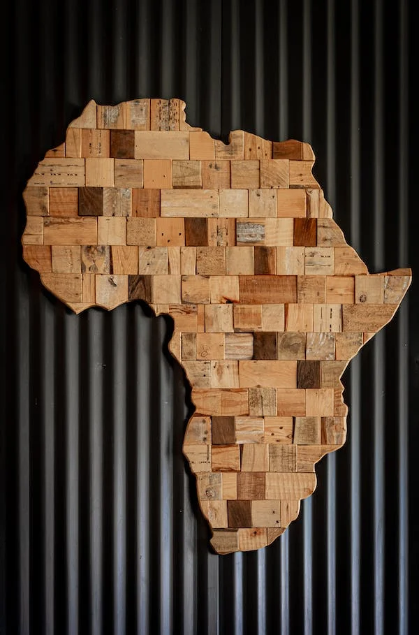
From the Sahara to the mining settlement in Dallol, Ethiopia, and the once-dubbed hottest place on the Earth, El-Azizia, Libya, Africa is home to many hot regions that experience extreme rising temperatures. It’s no surprise that when people think about Africa, images of drylands and deserts arise.
Yet, Africa being incredibly unique as it is, is a continent of extremes. Some of its parts encounter more rainfall than others, proving the diversity of its climate and bringing in its beautiful, varied landscapes. Here, let’s look at Africa’s wettest and slide cool facts about these locations.
North Africa and South Africa
Vast parts of North Africa and Southern Africa mainly experience hot desert climates or semi-arid climates for their wetter areas. The Saharan region in North Africa consists of very arid landscapes, including sandy plains, dune fields, gravel terrains, rugged mountains, and low-lying plateaus. Average yearly rainfall only ranges from 0 to 150 mm, resulting in sporadic vegetations, most often seen in oases and wadis or streams valleys that are dry except in the rainy season.
Just below the Sahara is the Sahel region. It is a wide semi-arid steppe that stretches from the Atlantic Ocean to the Red Sea. Average rainfall in the region is between 150 to 600 mm, varying in timing and amount every year.
Considered a transitional ecoregion, Sahel features semi-arid savannas, grasslands, thorn shrublands, and small wetlands. Meanwhile, southern Africa’s annual is about 450 mm, with the region containing savanna plains and then dense jungle in its central portions.
Equatorial Region: Africa’s Wettest Area
Not including Madagascar, Africa’s wettest areas lie in the equatorial region, near the Intertropical Convergence. These areas include eastern Africa’s highlands, central Africa, a large expanse of the Congo Basin, and parts of coastal western Africa, covering Guinea, Liberia, Sierra Leone.
Specifically, the Guinean Region receives an annual rainfall of 1,200 to 2,200 mm, but its dry season may last between 7 to 8 months. It is relatively higher than the Sudanian Region above it, which only averages 600 and 1,200 mm annually. In terms of landscape, the Guinean region is mainly characterized by semi-deciduous and seasonally wet-and-dry deciduous forests, plus savanna.
Situated below the Guinean region, the wettest in Africa’s equatorial zone is the Guinea-Congolian Region, divided into two blocks (Upper and Lower). The area has an average rainfall of 2,200 to 5,000 each year. What makes it more distinct is that it has two rainy seasons, only divided by a short dry period.
Part of the Guinea-Congolian region is the renowned Congo Basin, the second-largest tropical forest globally and considered the world’s second lung, next to Amazon. Blessed with a patchwork of swamps, flooded forests, rivers, and savannas, the Congo Basin boasts high levels of biodiversity. Some of its famous dwellers include chimpanzees, forest elephants, leopards, lions, hippos, okapi, and one of Africa’s most endangered species, the mountain gorilla.
Takeaway
While generally viewed as a hot continent, Africa has its own trove of wet regions, making it incredibly unique. If you’re visiting Africa and taking on Safari activities, never miss out on seeing these places for a complete, fantastic experience of the continent.

